Angerer Alm Tour

Olang/Valdaora
Add to favourites
Category
Difficulty
Intermediate
Duration
1:13
in hours
Distance
10
in km
NEW: MOVE calculates your personal route time for this tour.
Find out more about the project

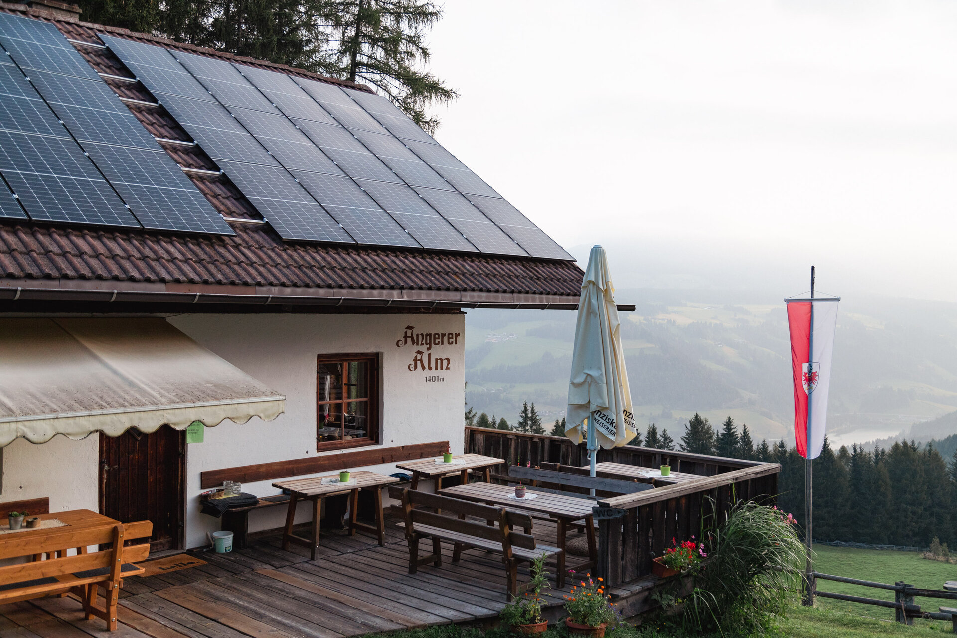
The Angerer Alm at 1,401 metres offers a wonderful view of the surrounding mountain landscape. To reach the destination, however, you must conquer around 400 vertical metres over 4 kilometres. The official starting point of the tour is in Mitterolang.
Right from the start, the route ascends steadily, with gradients ranging between 8% and a maximum of 14%. Once at the top, you ride across beautiful alpine meadows, reaching the Angerer Alm shortly after the highest point.
The return route follows gravel roads downhill on the other side back to Olang.


Route data
Intermediate
Distance
10,0 km
Duration
1 h 13 min
Ascent
438 m
Decent
447 m
Highest point
1.547 m
Lowest point
1.113 m
You might be interested in
Discover related tours
Intermediate
Add to favourites
From Olang to Antholzer Lake and the biathlon stadium
Distance 42,7 km
Duration 3 h 40 min
Ascent 757 m
Decent 758 m
Intermediate
Add to favourites
From Olang to the Gsiesertal
Distance 24,8 km
Duration 2 h 43 min
Ascent 531 m
Decent 116 m
Telle Line
Distance 0,6 km
Duration 03 min
Ascent 12 m
Decent 62 m
Status
closed
MTB | © Wisthaler, Bruneck Kronplatz Tourismus
Intermediate
Add to favourites
MTB Tour Kofler am Kofl
Distance 5,9 km
Duration 1 h 14 min
Ascent 488 m
Decent 0 m
Status
closed
Intermediate
Add to favourites
Olang/Valdaora
Lanzwiesen Alm-Climb
Distance 6,6 km
Duration 1 h 28 min
Ascent 688 m
Decent 4 m
Ein Mountainbiker auf einem Trail im Kronplatz Bike Park. | © Skirama Kronplatz
Intermediate
Add to favourites
Sigi Line
Distance 0,8 km
Duration 04 min
Decent 134 m
Status
closed