Brunst Alm-Uphill

Olang/Valdaora
Add to favourites
Category
Difficulty
Intermediate
Duration
1:33
in hours
Distance
7
in km
NEW: MOVE calculates your personal route time for this tour.
Find out more about the project

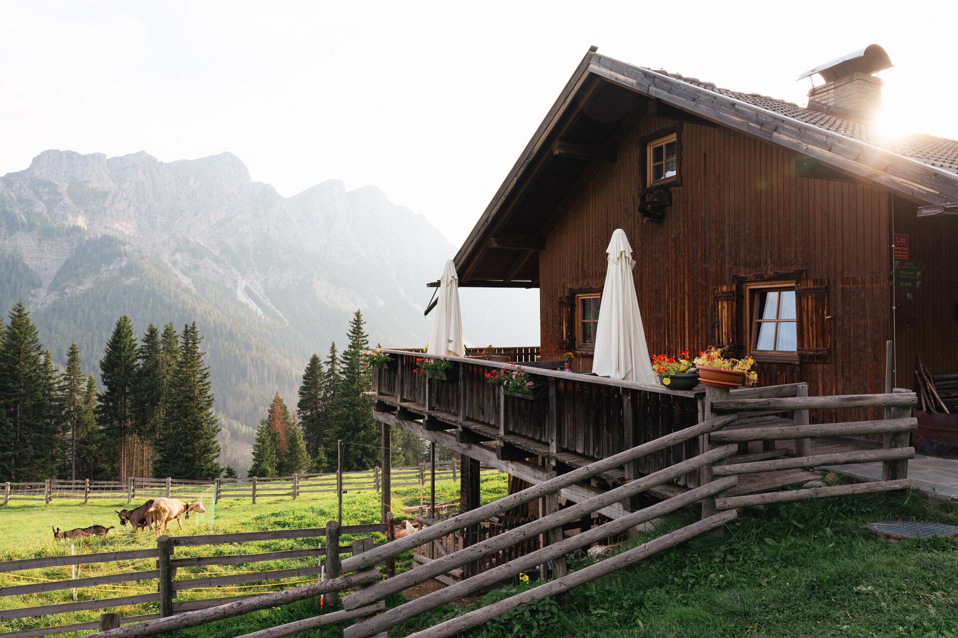
The tour to the Brunst-Alm is not for the faint-hearted. Starting in Oberolang, the route follows the Brunst stream all the way to the alpine hut of the same name. But before you reach the top, you’ll face some serious hard work. The climb is long and steep, taking you along the edge of the Fanes-Senes-Braies Nature Park through stunning landscapes. Once at the top, you’ve definitely earned yourself a refreshing drink!


Tour Highlights:

Cultural Highlights: Sawmill Lipper & Forge

Potable watersource: Fountain in the Kids World

Route data
Intermediate
Distance
7,0 km
Duration
1 h 33 min
Ascent
777 m
Highest point
1.888 m
Lowest point
1.111 m
Olang/Valdaora
Brunst Alm
Open
closed
Alpine hut
Olang/Valdaora
Charging station E-Bike - Brunst hut
Open
closed
E-bike charging station
Olang/Valdaora
Sawmill Lipper
Other historical buildings
Olang/Valdaora
Forge
Other producers
Olang/Valdaora
Fountain - Playground Kids World, Oberolang
Refill points for drinking water
You might be interested in
Discover related tours
Olang/Valdaora
MTB Skill Area
Distance 0,4 km
Duration 05 min
Ascent 19 m
Decent 20 m
Along the Rienz to the Three Peaks viewpoint to Cortina
Distance 49,8 km
Duration 5 h 04 min
Ascent 719 m
Decent 543 m
Olang/Valdaora
Mitterberg Schaukel | Tracciato Monte di Mezzo
Distance 6,1 km
Duration 48 min
Ascent 293 m
Decent 310 m
Olang/Valdaora
Dragon Trail
Distance 2,0 km
Duration 08 min
Ascent 0 m
Decent 217 m
Status
closed
Mounaintbiker on the CC Top Line | © Skirama Kronplatz
Intermediate
Add to favourites
CC Top Line
Distance 0,7 km
Duration 16 min
Ascent 3 m
Decent 491 m
Status
closed
Discover family highlights in Olang by bike
Distance 5,3 km
Duration 26 min
Ascent 70 m
Decent 80 m