Gassl Trail

Olang/Valdaora
Add to favourites
Category
Difficulty
Intermediate
Duration
0:20
in hours
Distance
6.3
in km
Status
open
NEW: MOVE calculates your personal route time for this tour.
Find out more about the project

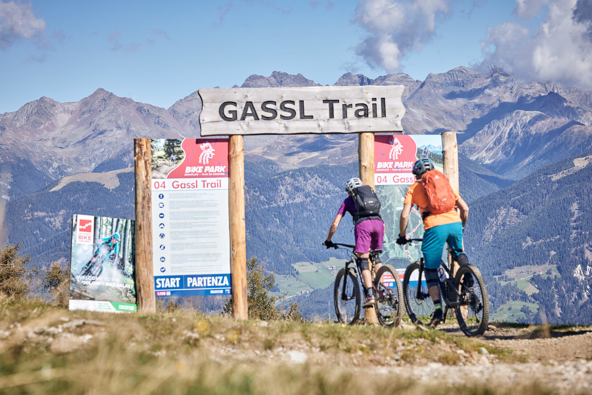
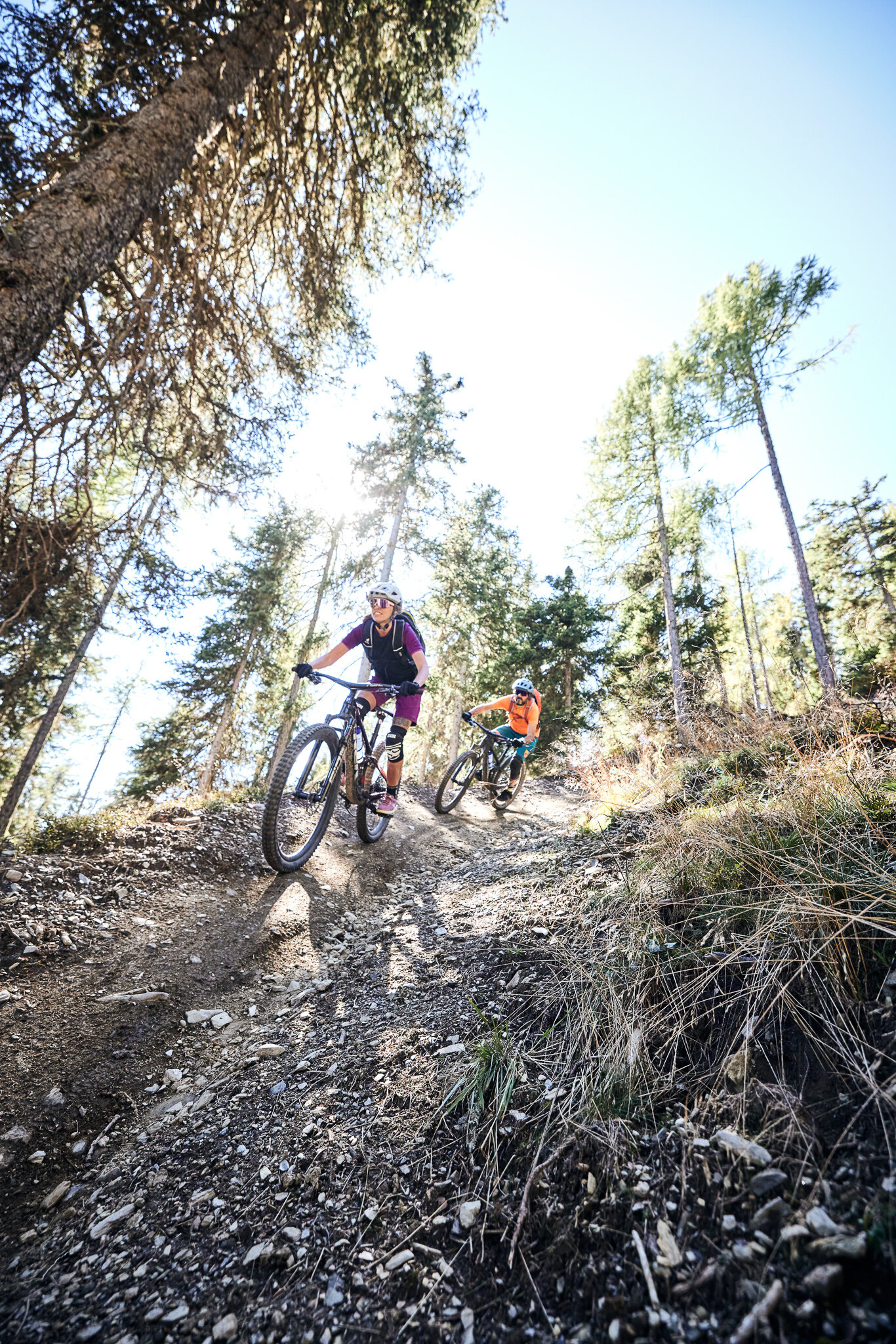
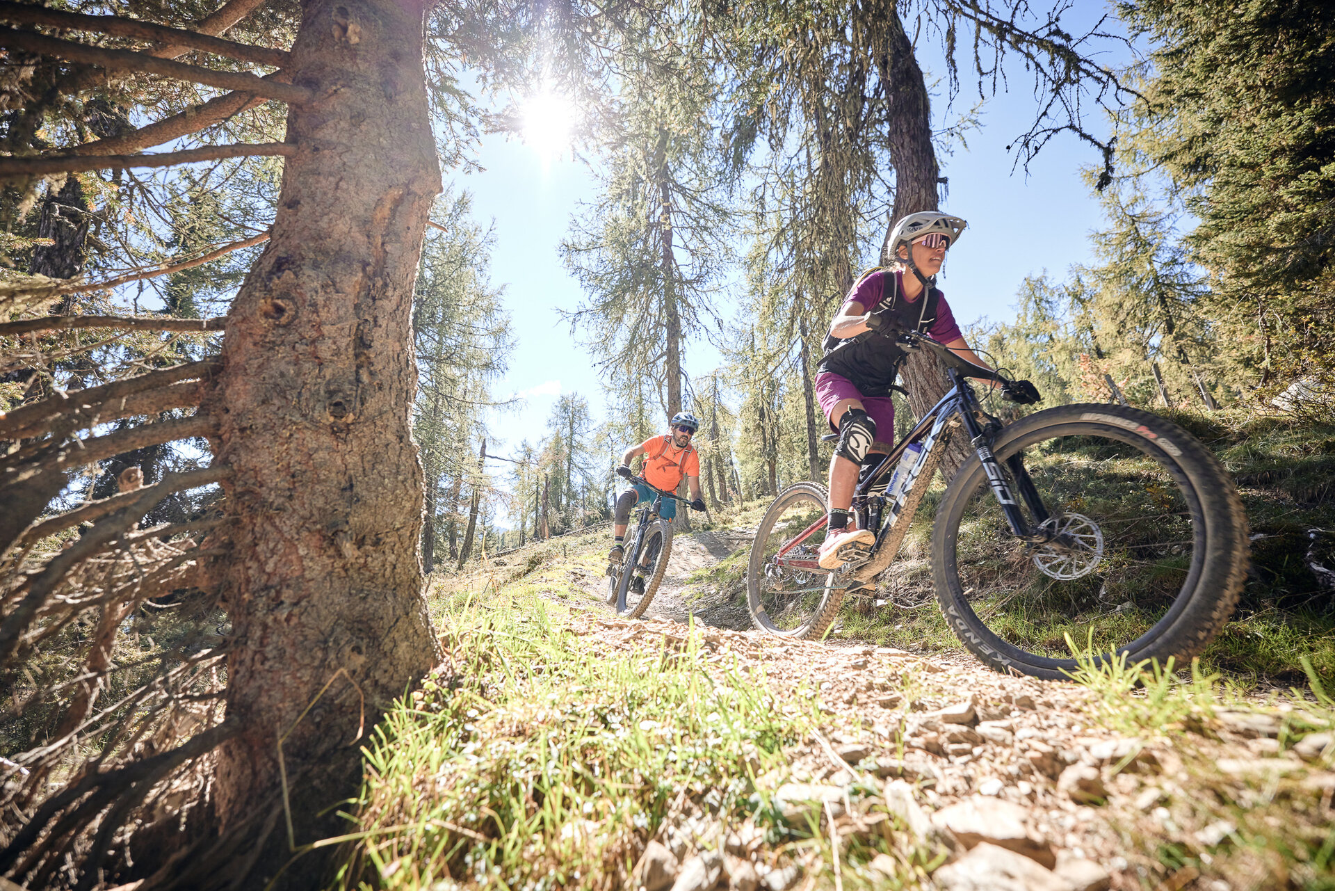
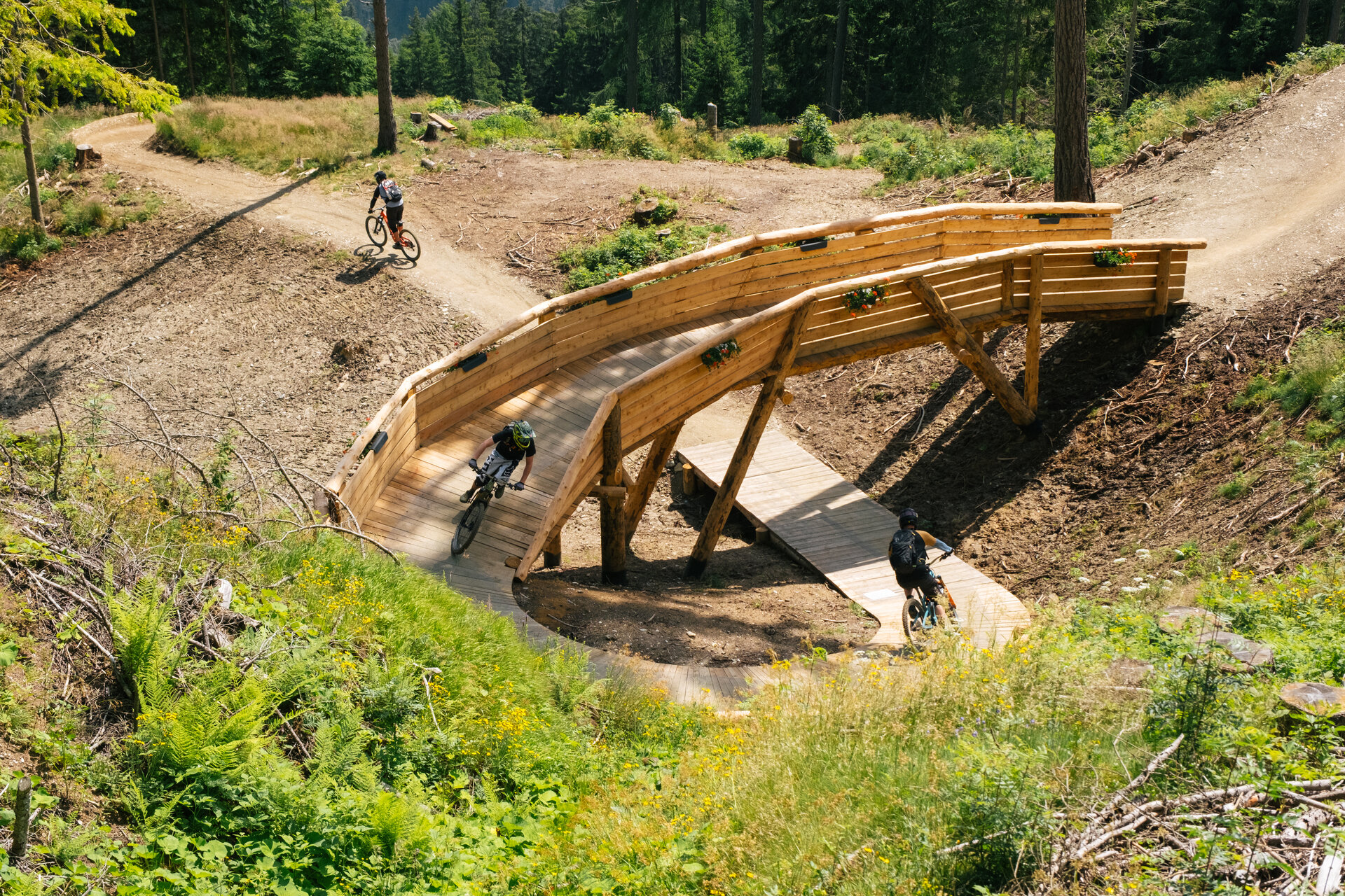
The Gassl Trail winds down the eastern face of the mountain from the middle station Olang 1+2 lift over countless bends all the way down to Casola-Gassl. Although it’s chock-full of easy jumps and low-banked curves, its ever-changing route layout won’t distract you from appreciating the stunning panoramic views. In June 2024, it was made more challenging by adding new elements

Route data
Intermediate
Distance
6,3 km
Duration
20 min
Ascent
2 m
Decent
883 m
Highest point
2.063 m
Lowest point
1.180 m
You might be interested in
Discover related tours
Bike | © BKT_Wisthaler, Bruneck Kronplatz Tourismus
Intermediate
Add to favourites
MTB Tour Kofler am Kofl
Distance 5,9 km
Duration 1 h 14 min
Ascent 488 m
Decent 0 m
Pitzinger Alm mtb round trip
Distance 21,4 km
Duration 3 h 11 min
Ascent 933 m
Decent 933 m
Historical building with garden | © Hermann Maria Gasser
Intermediate
Add to favourites
Cultural discovery tour to the folklore museum in Dietenheim
Distance 8,5 km
Duration 29 min
Ascent 42 m
Decent 191 m
Intermediate
Add to favourites
From Olang to Antholzer Lake and the biathlon stadium
Distance 42,7 km
Duration 3 h 40 min
Ascent 757 m
Decent 758 m
Ein Mountainbiker auf einem Trail im Kronplatz Bike Park. | © Skirama Kronplatz
Intermediate
Add to favourites
Sigi Line
Distance 0,8 km
Duration 04 min
Decent 134 m
Status
open
Intermediate
Add to favourites
Olang/Valdaora
Spitzhorn Trail
Distance 1,4 km
Duration 09 min
Decent 178 m
Status
open