Top

Nature Path Achmühle

Olang/Valdaora
Add to favourites
Difficulty
Easy
Duration
0:45
in hours
Distance
2.8
in km
Status
open
Categories
  • Hiking trail
Tags
  • Suitable for strollers
  • Accessibility
  • Round trip
Suggested period
Jan
Feb
Mar
Apr
May
Jun
Jul
Aug
Sep
Oct
Nov
Dec

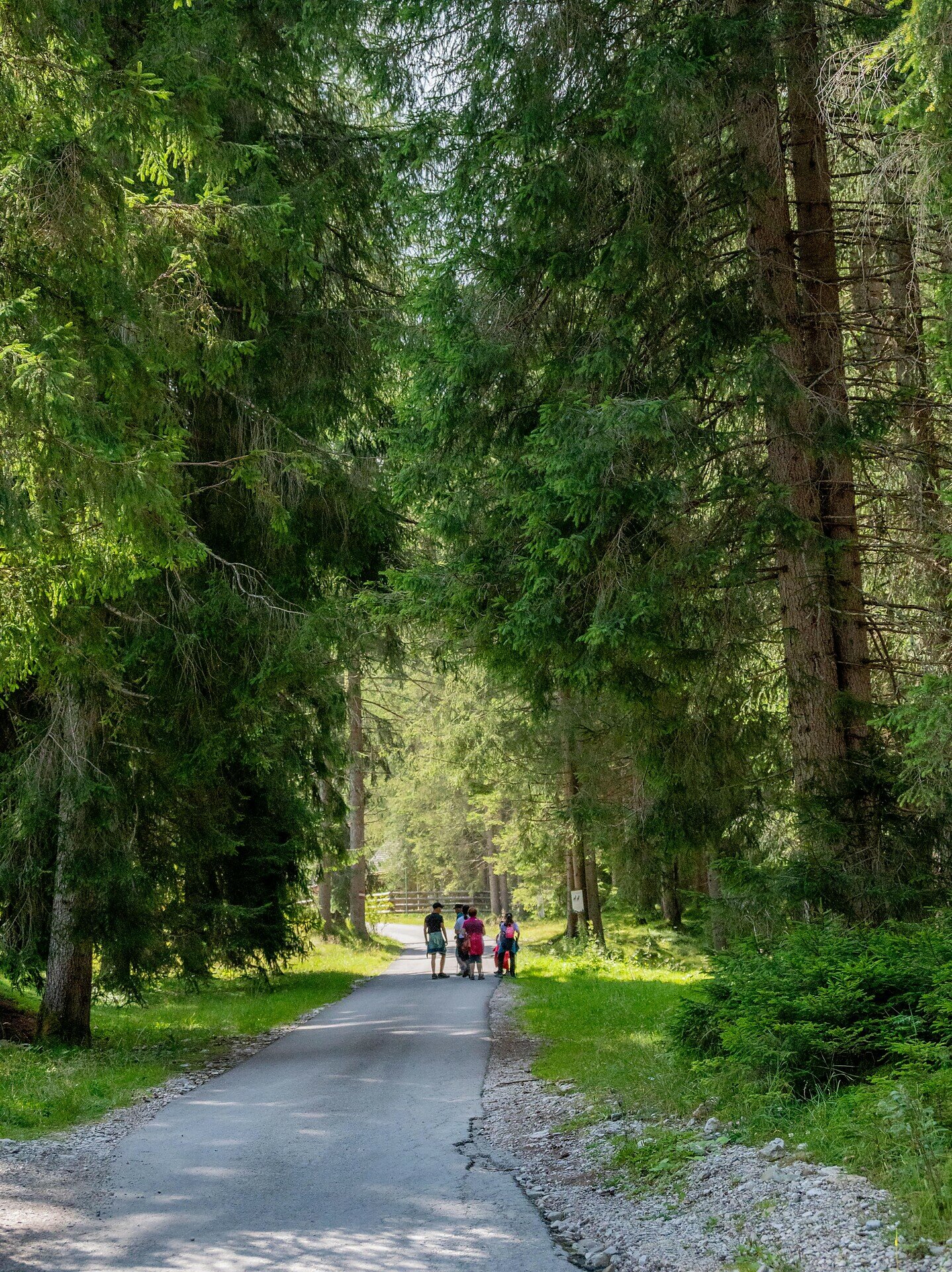
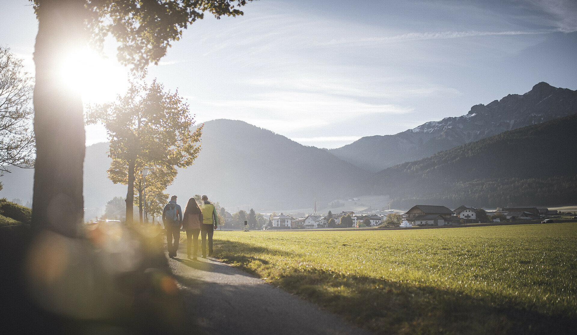
This leisurely circular trail combines the experience of nature with local history. The route leads through peaceful areas, along meadows and small paths to the Achmühle and back. Overall, the path is easy to walk, features only gentle inclines, and is well-suited for families with strollers as well as for wheelchair users. The surroundings invite you to mindfully enjoy nature without great physical exertion.


Places to eat & drink:

Café Krempe (directly at the start and finish point)
Gallery
Categories
  • Hiking trail
Tags
  • Suitable for strollers
  • Accessibility
  • Round trip
Route data
Easy
Distance
2,8 km
Duration
45 min
Ascent
54 m
Decent
53 m
Physical condition
Scenary
Highest point
1.053 m
Lowest point
1.000 m
You might be interested in
Discover related tours
Walk | © Olang
Intermediate
Add to favourites
Olang/Valdaora
Geiselsberg - Gassl - Mitterolang
Distance 3,6 km
Duration 1 h 00 min
Ascent 0 m
Decent 317 m
Status
open
Olang/Valdaora
From Niederolang to the Kronplatz
Distance 19,9 km
Duration 6 h 39 min
Ascent 1.340 m
Decent 1.350 m
Status
open
Dolomites | © Skirama Kronplatz, Bruneck Kronplatz Tourismus
Intermediate
Add to favourites
Olang/Valdaora
Plan de Corones > Pracken > Malga Oberegger > Casola
Distance 8,3 km
Duration 3 h 30 min
Ascent 0 m
Decent 1.119 m
Status
open
Intermediate
Add to favourites
Winter hike: Prackendorf
Distance 4,5 km
Duration 2 h 05 min
Ascent 529 m
Status
closed
Olang/Valdaora
Niederolang - Gassl - Bad Bergfall
Distance 4,9 km
Duration 1 h 37 min
Ascent 318 m
Decent 25 m
Status
open
Olang/Valdaora
Hike to the Brunst hut
Distance 4,3 km
Duration 2 h 25 min
Ascent 731 m
Decent 1 m
Status
closed