Walk from Panorama to Oberolang

Olang/Valdaora
Add to favourites
Difficulty
Easy
Duration
0:10
in hours
Distance
0.8
in km
Status
open
Categories
  • Hiking trail
Tags
  • Linear route
Suggested period
Jan
Feb
Mar
Apr
May
Jun
Jul
Aug
Sep
Oct
Nov
Dec

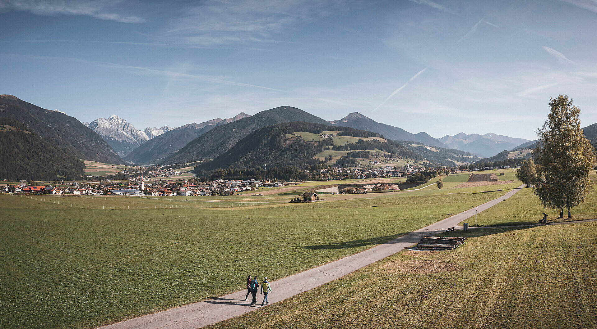
This pleasant walk begins in the Panorama district of Mitterolang, a quiet and sunny viewpoint above the village center. Right from the start, you can enjoy wide views over the entire village and the surrounding Dolomite peaks. The route follows the paved road leading to Oberolang; it is easy to walk and therefore ideal for families with children or for a relaxing afternoon stroll.
Gallery
Categories
  • Hiking trail
Tags
  • Linear route
Route data
Easy
Distance
0,8 km
Duration
10 min
Ascent
5 m
Decent
31 m
Physical condition
Scenary
Highest point
1.100 m
Lowest point
1.069 m
You might be interested in
Discover related tours
Intermediate
Add to favourites
Winter hike: Prackendorf
Distance 4,5 km
Duration 2 h 05 min
Ascent 529 m
Status
closed
View | © Skirama, Bruneck Kronplatz Tourismus
Intermediate
Add to favourites
Olang/Valdaora
Plan de Corones - Malga Oberegger - Casola
Distance 7,0 km
Duration 2 h 50 min
Ascent 2 m
Decent 1.119 m
Status
open
Salla | © Olang, Olang
Intermediate
Add to favourites
Olang/Valdaora
Walk Valdaora di Sopra – Salla - Valdaora di Sopra/Oberolang – Salla - Oberoalng
Distance 7,7 km
Duration 2 h 55 min
Ascent 332 m
Decent 335 m
Status
open
Olang/Valdaora
Bad Bergfall - Kronplatz
Distance 4,9 km
Duration 3 h 00 min
Ascent 957 m
Decent 4 m
Status
open
Olang/Valdaora
Bad Bergfall - Maurerkopf
Distance 9,6 km
Duration 4 h 50 min
Ascent 1.459 m
Decent 271 m
Status
open
Olang/Valdaora
Lanzwiesen hut- Brunst hut
Distance 6,2 km
Duration 1 h 53 min
Ascent 272 m
Decent 218 m
Status
open