Walk from Voppichl to Mitterolang

Olang/Valdaora
Add to favourites
Difficulty
Easy
Duration
0:22
in hours
Distance
1.6
in km
Status
open
Categories
  • Hiking trail
Tags
  • Linear route
  • Family-friendly
Suggested period
Jan
Feb
Mar
Apr
May
Jun
Jul
Aug
Sep
Oct
Nov
Dec
NEW: MOVE calculates your personal route time for this tour.
Find out more about the project

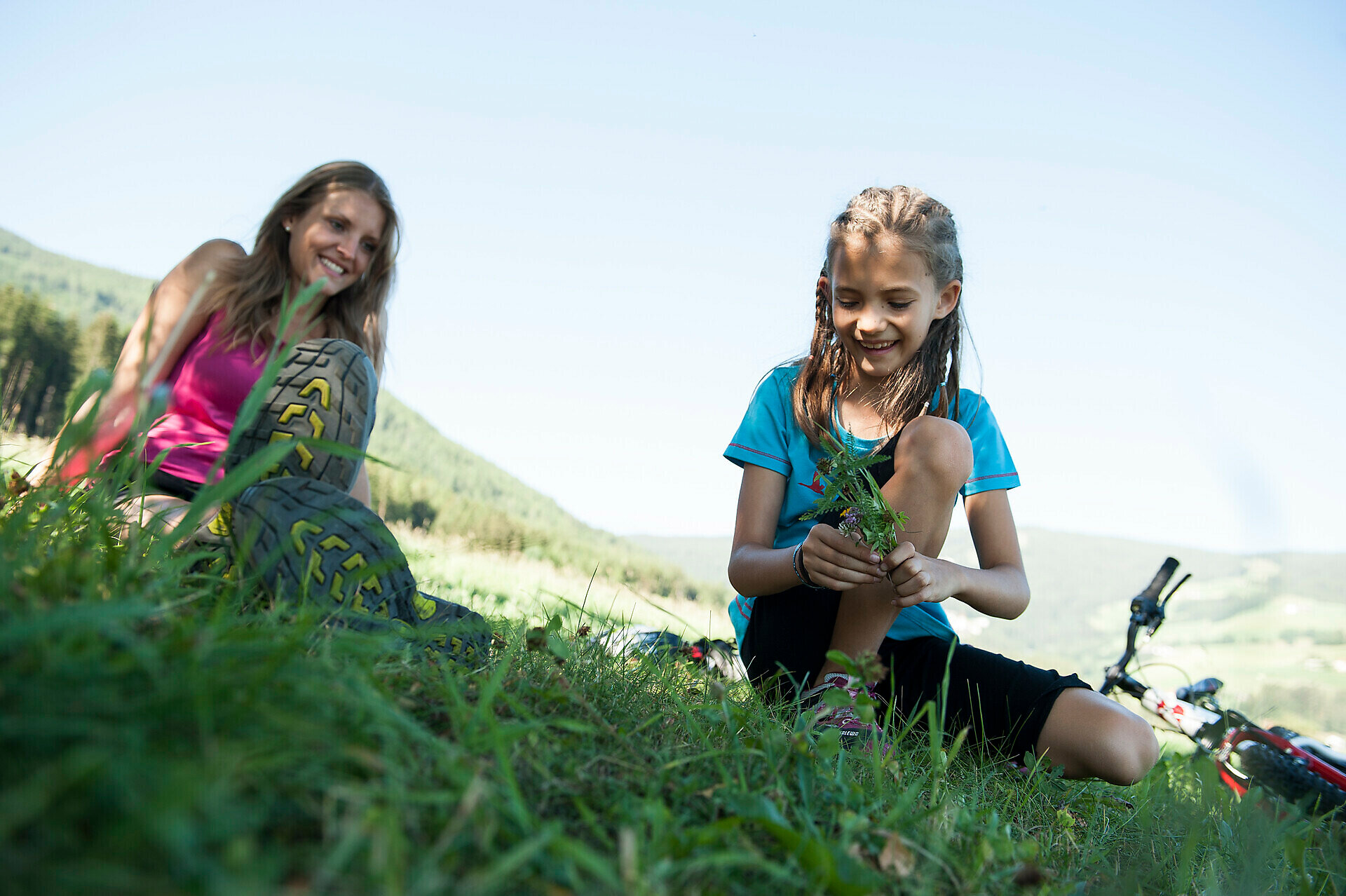
From the Vobichl district, a fully paved path leads gently downhill to Mitterolang. Thanks to the solid surface, the route is ideal for strollers and easily manageable even with small children. Along the way, you can enjoy beautiful views and a peaceful atmosphere – perfect for a short break in the fresh air.
Gallery
Categories
  • Hiking trail
Tags
  • Linear route
  • Family-friendly
Route data
Easy
Distance
1,6 km
Duration
22 min
Ascent
0 m
Decent
65 m
Physical condition
Scenary
Highest point
1.108 m
Lowest point
1.042 m
You might be interested in
Discover related tours
Olang/Valdaora
Hike Valdaora – Lago di Braies/Olang – Pragser Wildsee
Distance 11,7 km
Duration 4 h 57 min
Ascent 1.184 m
Decent 767 m
Status
open
Bild | © © Plaickner Josef / Tourist Info Antholzertal, Olang
Intermediate
Add to favourites
Hike to the Hofstatt hut
Distance 1,3 km
Duration 40 min
Ascent 209 m
Decent 7 m
Status
open
Olang/Valdaora
Walk from Panorama to Oberolang
Distance 0,8 km
Duration 10 min
Ascent 5 m
Decent 31 m
Status
open
Lanzwiese hut | © IDM Südtirol-Alto Adige Philipp Pliger, Olang
Intermediate
Add to favourites
Olang/Valdaora
The Sulfur Spring - Lanzwiese hut
Distance 3,5 km
Duration 1 h 49 min
Ascent 560 m
Decent 560 m
Status
open
Winter hike: Loop Oberolang
Distance 2,3 km
Duration 50 min
Ascent 71 m
Decent 84 m
Status
closed
Winter hike: Panorama path
Distance 2,7 km
Duration 53 min
Ascent 16 m
Decent 73 m
Status
closed