Directions
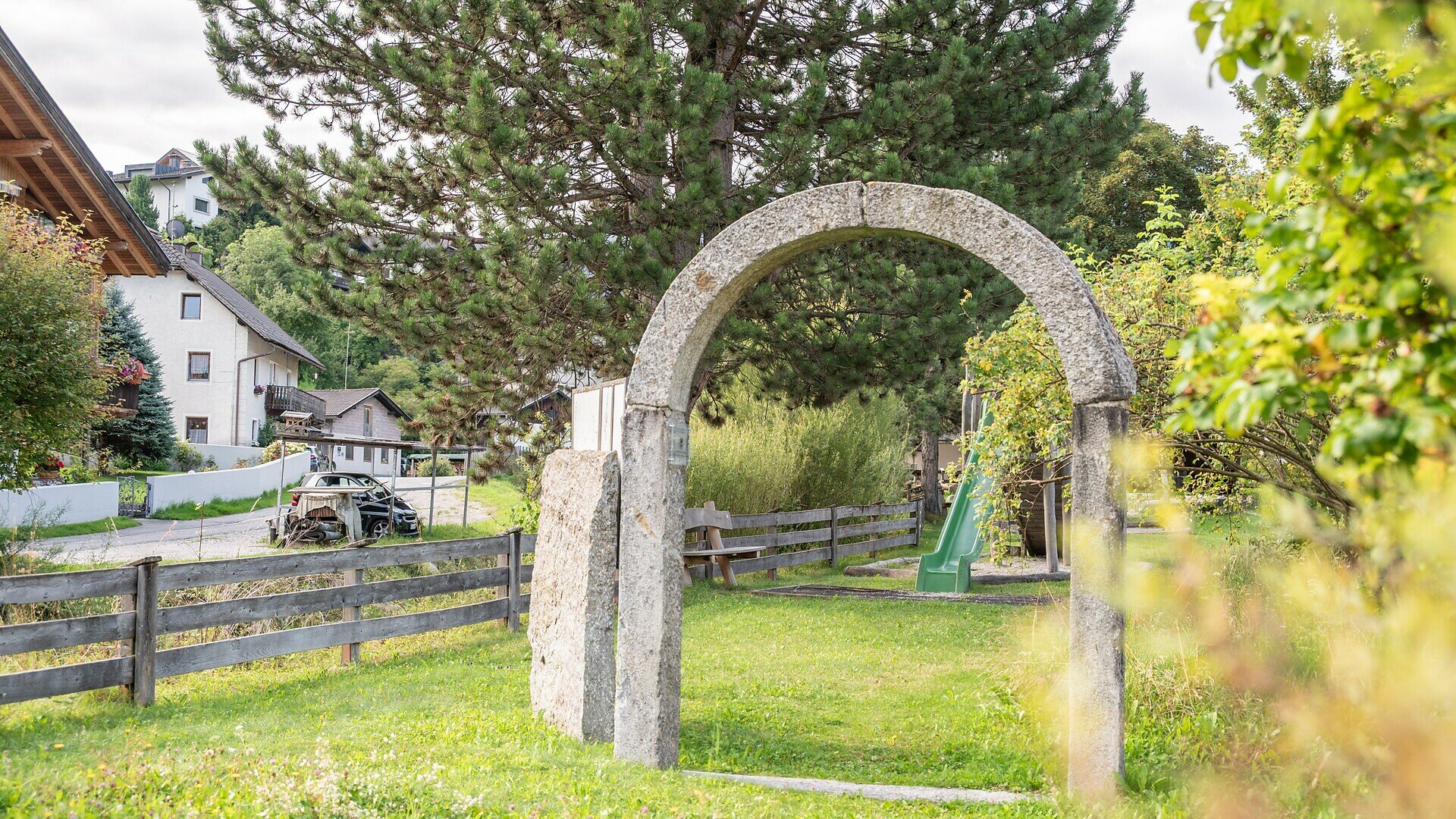
The route starts at the playground in Niederolang, where a distinctive stone arch marks the entrance to the trail. After the first few metres along the asphalted Rienzstraße, continue straight ahead onto a firm natural-surface path alongside the Furkelbach stream, where you will soon come across the first educational stations introducing different types of rock.
A short, steep section of approximately 10 metres follows, with a gradient of 12–15% and a drainage channel. The trail then becomes largely flat again. A gentle slope leads beneath the railway bridge, followed by a steady climb with an 8% gradient over approximately 100 metres on gravel and natural ground.
After passing through a second stone underpass, the route continues alongside the Furkelbach wetland habitat, where information boards introduce the local biodiversity. Here, the surface changes to grass and gravel with loose stones. At the end of the wetland area, a very steep gravel ramp (18–20% over 5–7 metres) leads to a wooden bridge.
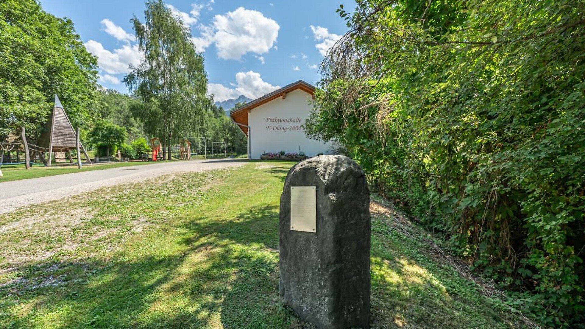
After crossing the bridge, the path becomes asphalted again and includes two short, steep sections, one of which has a 16% gradient and a drainage channel, before reaching the community hall with a playground, drinking water fountain and car park.
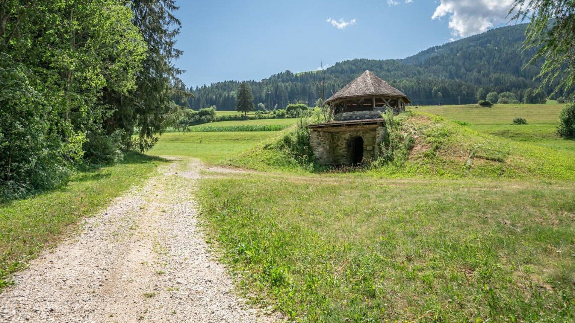
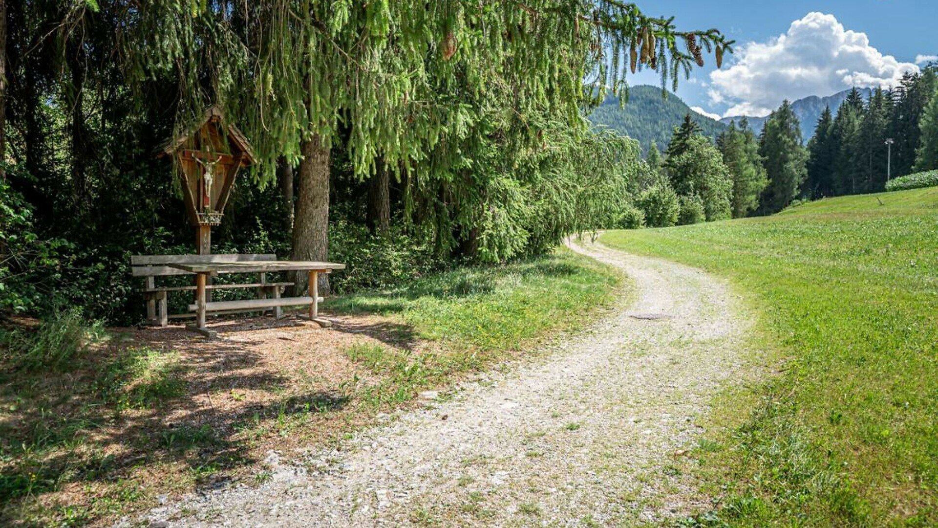
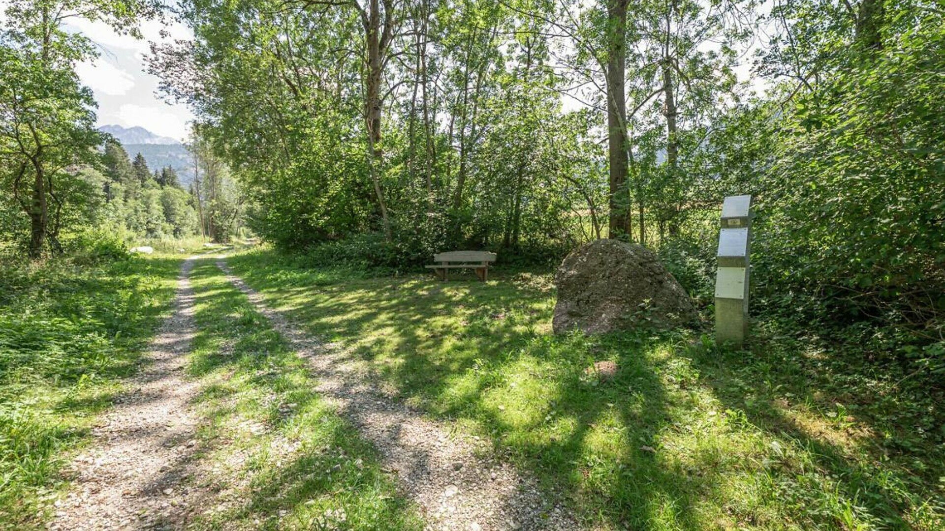
From here, the trail continues on a natural surface consisting of grass and gravel, with increasingly large and loose stones. The route climbs steadily, with gradients ranging from 6% to 8% and reaching up to 10% in places. Along the way, various exhibits showcasing South Tyrol’s rocks, wooden sculptures and benches accompany you until you reach the historic lime kiln in Untermühlbach, where an information board provides further details.
The final 150 metres follow a steady uphill stretch on gravel and natural ground, leading to the last small bridge of the themed trail.