Directions
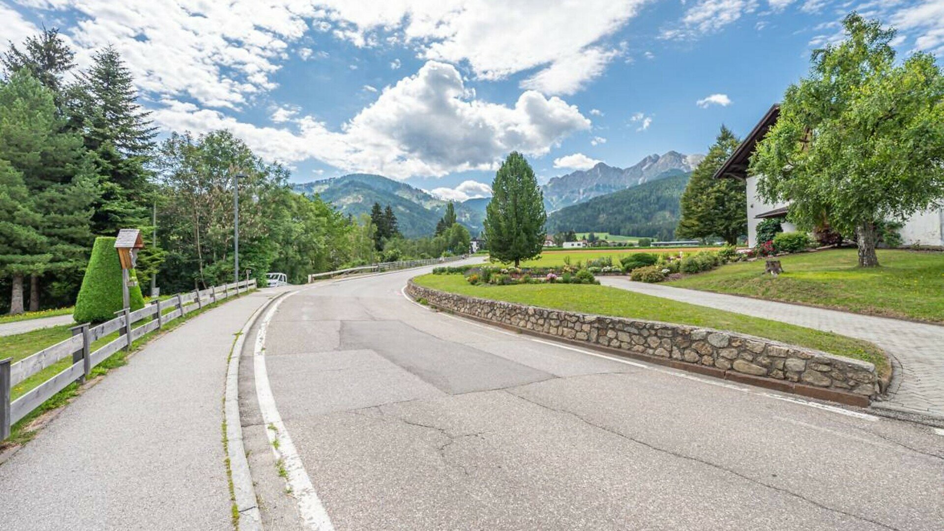
This 2.8 km circular walk starts at Bar Krempe in Mitterolang (bus stop and CallBus service | car park with a designated parking space for people with disabilities). From the car park, a short ramp with a 10% gradient leads to the pedestrian crossing. After crossing the zebra crossing near the bus stop, follow the pavement gently and steadily uphill, passing the Raiffeisen building (narrow section with a width of 100 cm). At the junction, cross the road and follow the paved footpath to the left. Near the Agstner shop, there is a steep section of pavement with a 12% gradient over approximately 15 metres, followed by a downhill slope to meet the road level. The pavement then continues with a gentle, steady incline.
Achmühle Area and alternative Route
At Pizzeria Friedheim, cross the road and continue alongside the golf course, where you will find a car park and a bus stop. Before the uphill section near the “Prugger” bend, turn left onto an unpaved footpath with a 16% gradient. This leads to a small wooden bridge over the Brunsbach stream, followed by another short, steep section on firm earth and gravel.
Alternative route: The unpaved section can be avoided by staying on the asphalted pavement along Hans-von-Perthaler-Straße until you reach the bridge in Oberolang. From there, follow Erschbaumstraße to rejoin the main route. This detour adds approximately 750 metres, including 400 metres uphill.
Forest Section and Return Ascent
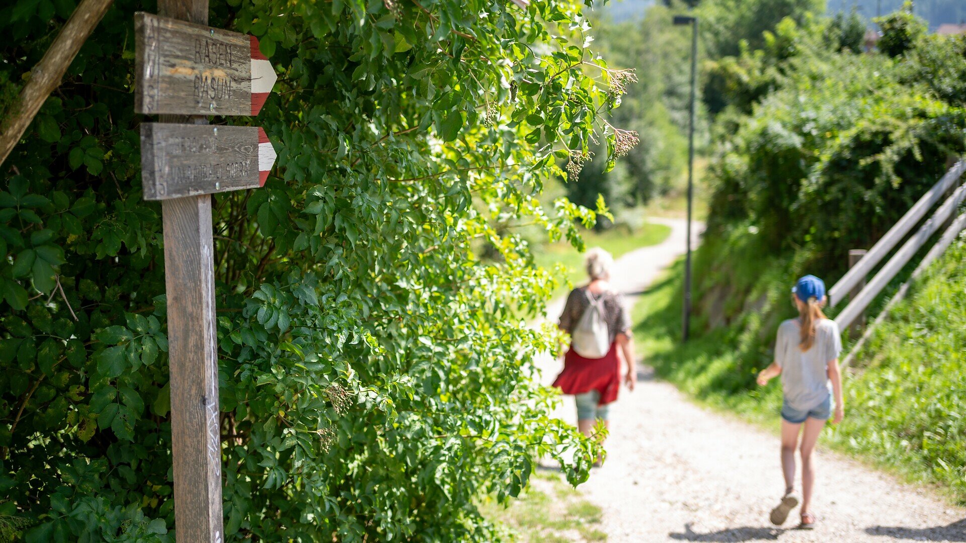
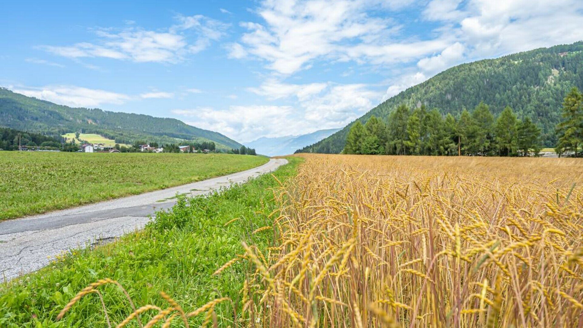
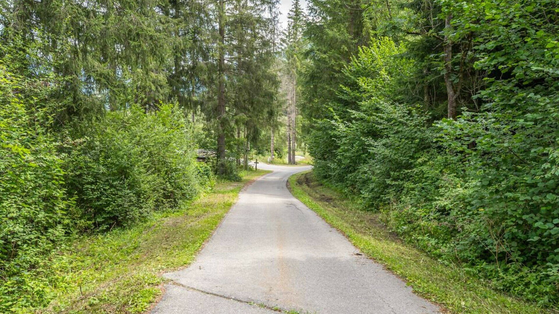
From Erschbaumstraße, the route descends along an asphalted road with gradients of 5–7%. After passing through the railway underpass, the road enters the forest, where the descent becomes longer and steeper, reaching gradients of up to 14%. At the junction, follow the signs towards Rasen and Mitterolang. Cross a second small wooden bridge and continue towards an organic farm. After a short climb with an 11% gradient, the route continues straight ahead along a flat, very pleasant path through fields of grain. At the fork where the path bends to the left, the most demanding part of the return route begins. First, a steep climb with a 14% gradient must be tackled before the route continues along the panoramic road with a gentle, steady incline towards the industrial and craft area. After passing through a pedestrian underpass, a gentle uphill stretch leads back to the starting point.
Several benches and a drinking water fountain are available along the route.