E-MTB Taufers - Klammljoch - Staller Sattel

Olang/Valdaora
Add to favourites
Category
Difficulty
Difficult
Duration
6:21
in hours
Distance
90.5
in km

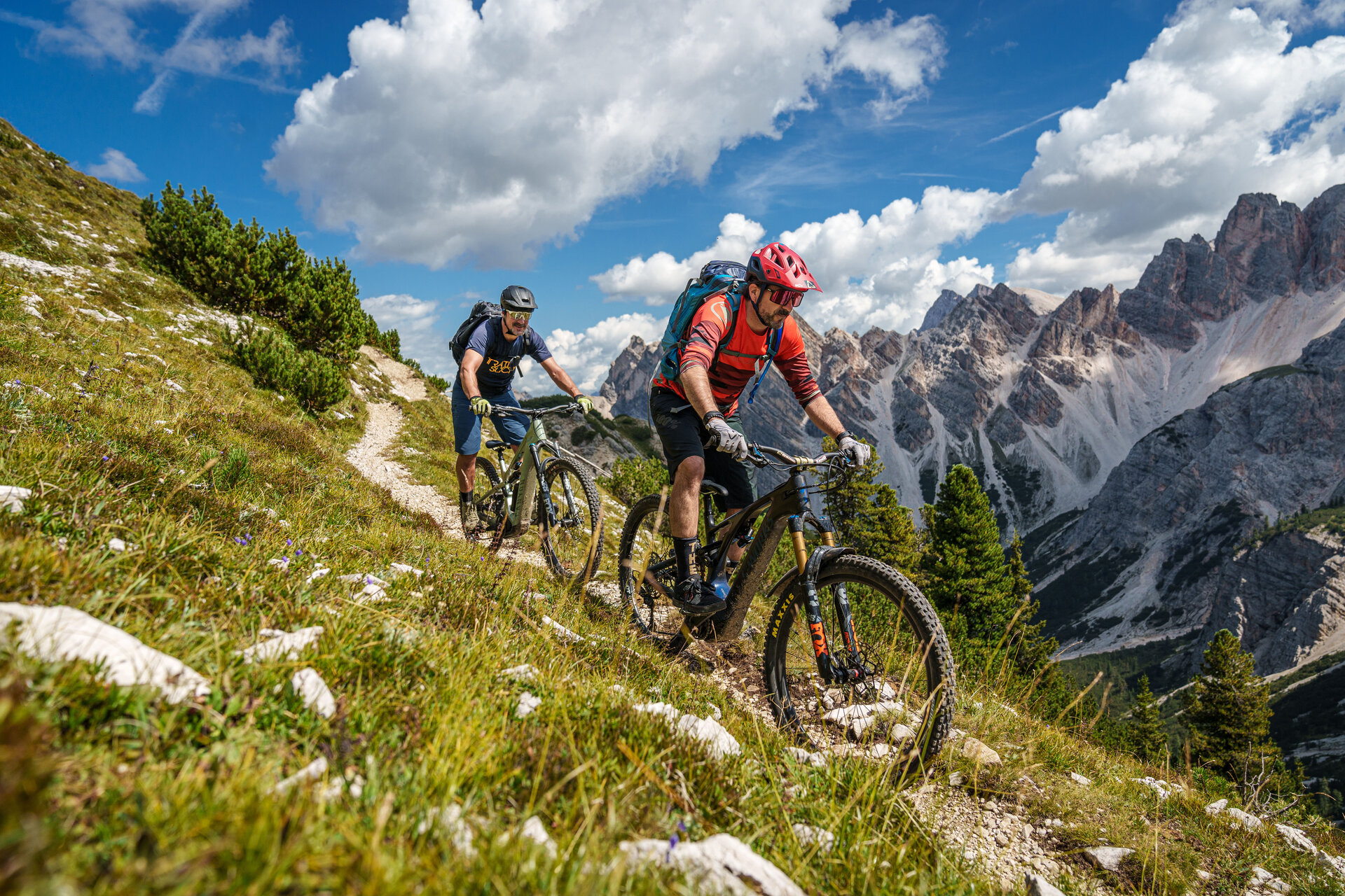
Pure E-MTB action awaits you on this cross-border tour over the Klammljoch and the Staller Sattel. Due to its length and difficulty, the tour is only suitable for experienced e-mountain bikers. From Olang, the route takes you via Bruneck deep into the Tauferer Ahrntal valley. The first climb begins in Sand in Taufers and leads up to the valley floor near Rein in Taufers. From there the route becomes steeper and steeper on gravel up to the Klammljoch, at 2,288 m above sea level the highest point of the tour and at the same time the border to Austria. Through the Defereggen valley you will descend to the pass road of the Staller Sattel. Another 400 meters of altitude await you here until you reach the top of the pass. Then you descend via the Antholz valley back to Olang.

Route data
Difficult
Distance
90,5 km
Duration
6 h 21 min
Ascent
2.283 m
Decent
2.283 m
Highest point
2.289 m
Lowest point
850 m
You might be interested in
Discover related tours
Intermediate
Add to favourites
Furcia Trail
Distance 4,5 km
Duration 11 min
Ascent 0 m
Decent 483 m
Status
open
Intermediate
Add to favourites
Olang/Valdaora
Plätzwiese tour
Distance 60,9 km
Duration 4 h 06 min
Ascent 1.173 m
Decent 1.174 m
Intermediate
Add to favourites
Piz de Plaies Trail
Distance 3,6 km
Duration 08 min
Ascent 1 m
Decent 362 m
Status
open
Intermediate
Add to favourites
Olang/Valdaora
Geiselsberg - Reischach
Distance 28,7 km
Duration 1 h 53 min
Ascent 745 m
Decent 748 m
Andreas Trail
Distance 0,8 km
Duration 02 min
Ascent 0 m
Decent 166 m
Status
open
Uschi Trail
Distance 0,9 km
Duration 03 min
Decent 81 m
Status
open