Geiselsberg - Bad Bergfall

Olang/Valdaora
Add to favourites
Difficulty
Easy
Duration
0:30
in hours
Distance
2
in km
Status
open
Categories
  • Hiking trail
Tags
  • Linear route
Suggested period
Jan
Feb
Mar
Apr
May
Jun
Jul
Aug
Sep
Oct
Nov
Dec

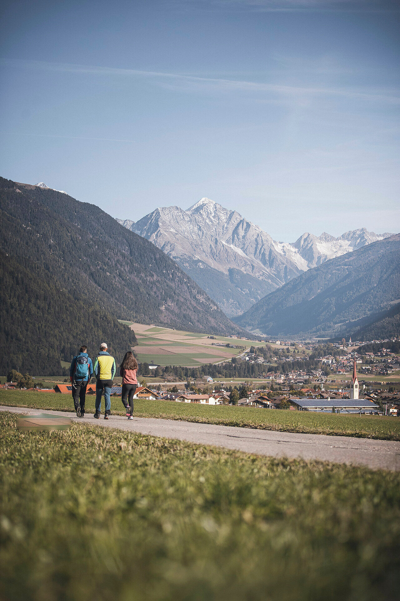
This scenic hike begins in the mountain village of Geiselsberg and descends along trail no. 14 to Bad Bergfall. The varied route leads through meadows and open woodlands, offering lovely views down into the valley. It’s an easy trail, perfect for a relaxed half-day outing.
Gallery
Categories
  • Hiking trail
Tags
  • Linear route
Route data
Easy
Distance
2,0 km
Duration
30 min
Ascent
25 m
Decent
56 m
Physical condition
Scenary
Highest point
1.360 m
Lowest point
1.304 m
You might be interested in
Discover related tours
Bild | © IDM Südtirol - Philipp Plieger, Olang
Intermediate
Add to favourites
Olang/Valdaora
Hike to the Lanzwiesen hut
Distance 6,4 km
Duration 2 h 40 min
Ascent 751 m
Decent 25 m
Status
open
Olang/Valdaora
Oberolang - Goste
Distance 2,5 km
Duration 45 min
Ascent 106 m
Decent 80 m
Status
open
Bild | © IDM Südtirol - Philipp Pliger, Olang
Intermediate
Add to favourites
Olang/Valdaora
Via trail 6A to the Angerer hut
Distance 1,5 km
Duration 58 min
Ascent 296 m
Decent 6 m
Status
open
Olang/Valdaora
Nature Path Achmühle
Distance 2,8 km
Duration 45 min
Ascent 54 m
Decent 53 m
Status
open
Olang/Valdaora
Bad Bergfall - Dreifinger peak
Distance 4,9 km
Duration 3 h 22 min
Ascent 1.106 m
Decent 22 m
Status
open
Olang/Valdaora
Bad Bergfall - Maurerkopf
Distance 9,6 km
Duration 4 h 50 min
Ascent 1.459 m
Decent 271 m
Status
open