Geiselsberg - Gassl - Mitterolang

Olang/Valdaora
Add to favourites
Difficulty
Intermediate
Duration
1:00
in hours
Distance
3.6
in km
Status
open
Categories
  • Hiking trail
Tags
  • Linear route
Suggested period
Jan
Feb
Mar
Apr
May
Jun
Jul
Aug
Sep
Oct
Nov
Dec

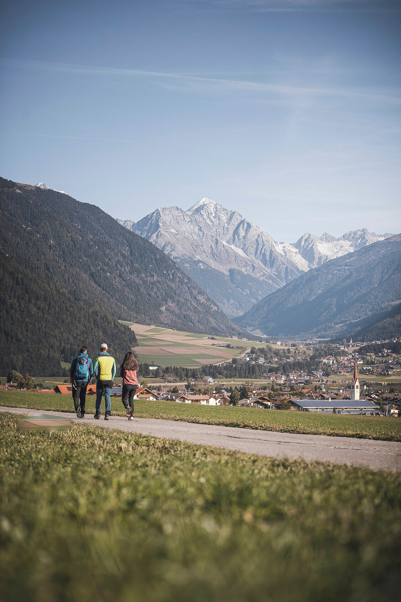
From the Geiselsberg district, follow the well-marked trail no. 3 downhill towards Gassl, passing meadows and light woodland. After reaching the valley station, the route continues towards Mitterolang, leading into the village center partly on paved sections and partly on wide forest roads. The hike is easy and enjoyable, with lovely views of the valley – ideal as a descent or a relaxed half-day tour.
Gallery
Categories
  • Hiking trail
Tags
  • Linear route
Route data
Intermediate
Distance
3,6 km
Duration
1 h 00 min
Ascent
0 m
Decent
317 m
Physical condition
Scenary
Highest point
1.360 m
Lowest point
1.043 m
You might be interested in
Discover related tours
Olang/Valdaora
Panoramic trail
Distance 4,5 km
Duration 1 h 10 min
Ascent 100 m
Decent 100 m
Status
open
Olang/Valdaora
Walk from Panorama to Oberolang
Distance 0,8 km
Duration 10 min
Ascent 5 m
Decent 31 m
Status
open
Olang/Valdaora
Nature Path Achmühle
Distance 2,8 km
Duration 45 min
Ascent 54 m
Decent 53 m
Status
open
Olang/Valdaora
Geiselsberg - Kronplatz
Distance 5,9 km
Duration 3 h 00 min
Ascent 915 m
Decent 2 m
Status
open
Dolomites | © Skirama Kronplatz, Bruneck Kronplatz Tourismus
Intermediate
Add to favourites
Olang/Valdaora
Plan de Corones > Pracken > Malga Oberegger > Casola
Distance 8,3 km
Duration 3 h 30 min
Ascent 0 m
Decent 1.119 m
Status
open
Bild | © © Plaickner Josef / Tourist Info Antholzertal, Olang
Intermediate
Add to favourites
Hike to the Hofstatt hut
Distance 1,3 km
Duration 40 min
Ascent 209 m
Decent 7 m
Status
open