Giro Adventure Tour

Olang/Valdaora
Add to favourites
Category
Difficulty
Easy
Duration
2:27
in hours
Distance
44.6
in km
Status
open
NEW: MOVE calculates your personal route time for this tour.
Find out more about the project

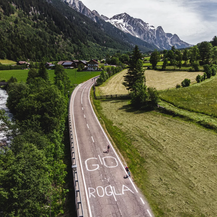
Follow in the tracks of the Giro d’Italia through Olang and the Antholz Valley to Lake Antholz – with a sporty finale at the Biathlon Centre.

The reminiscence of the Giro d'Italia. Walk in the footsteps of the racing bike stars and Giro legends and cover 769 m of altitude. The (sports) history-laden adventure tour does not yet take you to the Stallersattel, but "only" to the Antholz Lake. That should be enough to warm you up. The ride along the valley cycle path through Olang and the Anthiolz Valley offers a great first overview - but the last climb to the biathlon centre gives you a real Giro feeling. Don't forget your pink jersey!

Route data
Easy
Distance
44,6 km
Duration
2 h 27 min
Ascent
811 m
Decent
815 m
Highest point
1.634 m
Lowest point
1.000 m
Suggestions

A short break at Lake Antholz is highly recommended before heading back downhill – the perfect setting for a souvenir photo in the “Maglia Rosa”.

You might be interested in
Discover related tours
Olang/Valdaora
Kronplatz Tour
Distance 42,9 km
Duration 2 h 52 min
Ascent 1.173 m
Decent 1.175 m
Status
open
Bike Tour to the Staller Saddle
Distance 22,9 km
Duration 1 h 50 min
Ascent 1.424 m
Decent 376 m
Status
open
Olang/Valdaora
Sellaronda
Distance 147,9 km
Duration 9 h 19 min
Ascent 3.763 m
Decent 3.766 m
Status
open
Cortina d'Ampezzo tour | © San Vigilio Dolomites
Intermediate
Add to favourites
Olang/Valdaora
Cortina d'Ampezzo tour
Distance 136,5 km
Duration 7 h 49 min
Ascent 2.909 m
Decent 2.909 m
Status
closed
Giro d'Italia | © Alice Russolo – Giro d‘Italia, Tourismusgenossenschaft Antholzertal
Intermediate
Add to favourites
Olang/Valdaora
Giro Adventure Tour
Distance 44,7 km
Duration 2 h 25 min
Ascent 1.234 m
Decent 1.234 m
Status
closed
Intermediate
Add to favourites
Olang/Valdaora
Lago di Misurina – Tre Croci
Distance 100,4 km
Duration 5 h 17 min
Ascent 1.697 m
Decent 1.697 m
Status
open