Directions
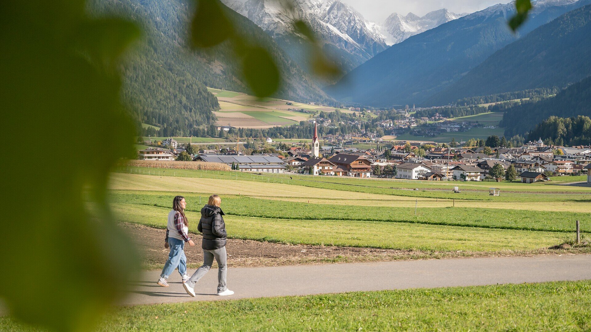
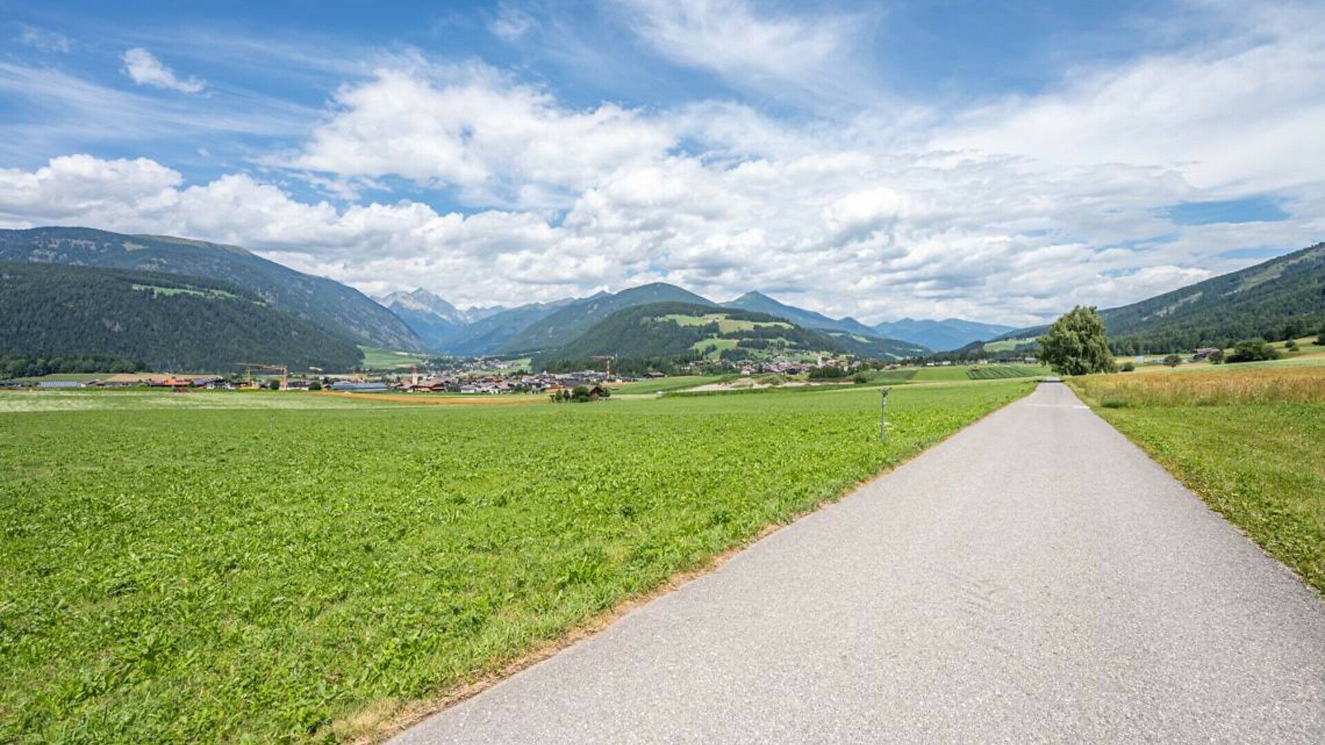
The route starts at the CallBus stop in the hamlet of Voppichl. It follows a quiet, flat asphalted road reserved for local traffic, leading through the vast, sunny meadows of Oberolang and offering magnificent panoramic views of the valley basin and surrounding mountain peaks.
A leisurely walk brings you to the first resting area, equipped with a wooden bench and a drinking water fountain. Shortly afterwards, you will reach the historic commemorative stone dedicated to land consolidation and village renewal. This impressive granite monument features an integrated bench and a bronze map, commemorating the important project to reorganise agricultural land and farm tracks between 1964 and 1970.
Continue along the gently ascending route through sunny pastures until you reach the Panorama junction, where both the regular bus and CallBus services stop. At this point, you have two options for continuing your walk:
Optional Detour to the Panorama Restaurant and Kids Area: Turn right onto an asphalted road that climbs for approximately 150 metres, with a steady gradient of 8–10%. This section requires a little more effort or assistance. The climb leads to the Panorama Restaurant and Pizzeria, which features a large car park, a CallBus stop and the Kids Area – a spacious outdoor adventure playground with plenty of attractions, ideal for families with children.
Continue along the Flat Main Route: Alternatively, stay on the flat main route and enjoy a pleasant walk past a traditional educational and breeding farm, home to alpacas and distinctive Scottish Highland cattle. This is another popular stop for younger visitors.
Following the flat asphalted path through the fields, with beautiful views of the surrounding peaks, the walk ends at the CallBus stop near the Familiaris accommodation (Aparthotel Winklwiese).