Spitzhorn Trail

Olang/Valdaora
Add to favourites
Category
Difficulty
Intermediate
Duration
0:09
in hours
Distance
1.4
in km
Status
closed
NEW: MOVE calculates your personal route time for this tour.
Find out more about the project

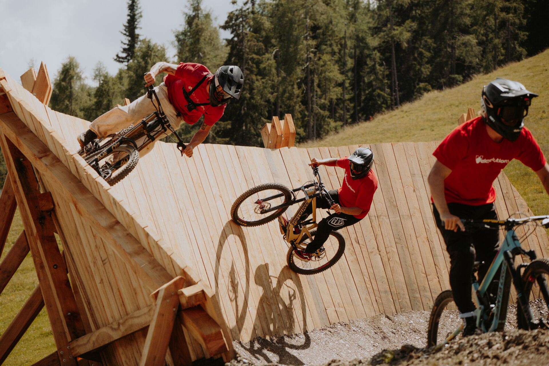
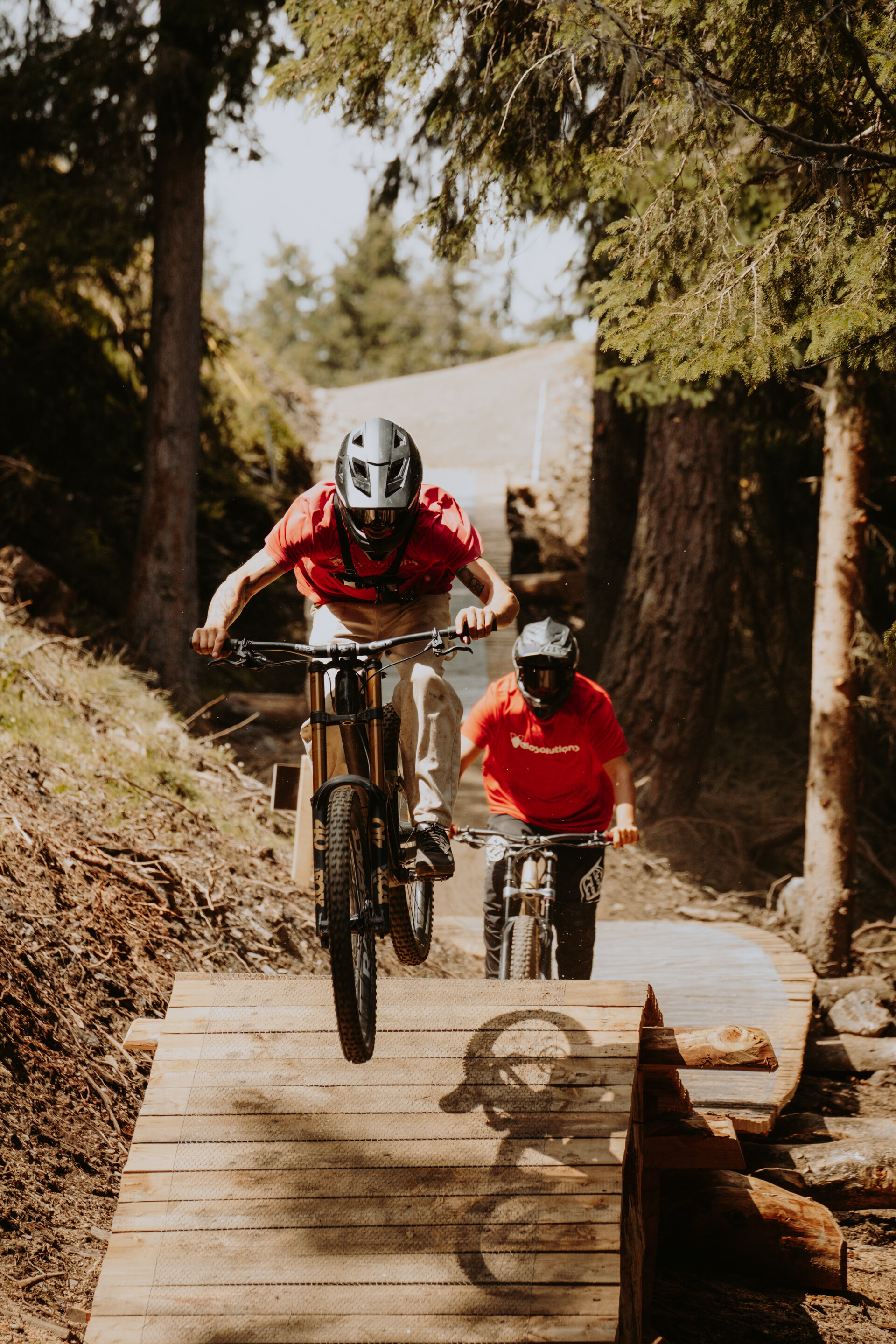
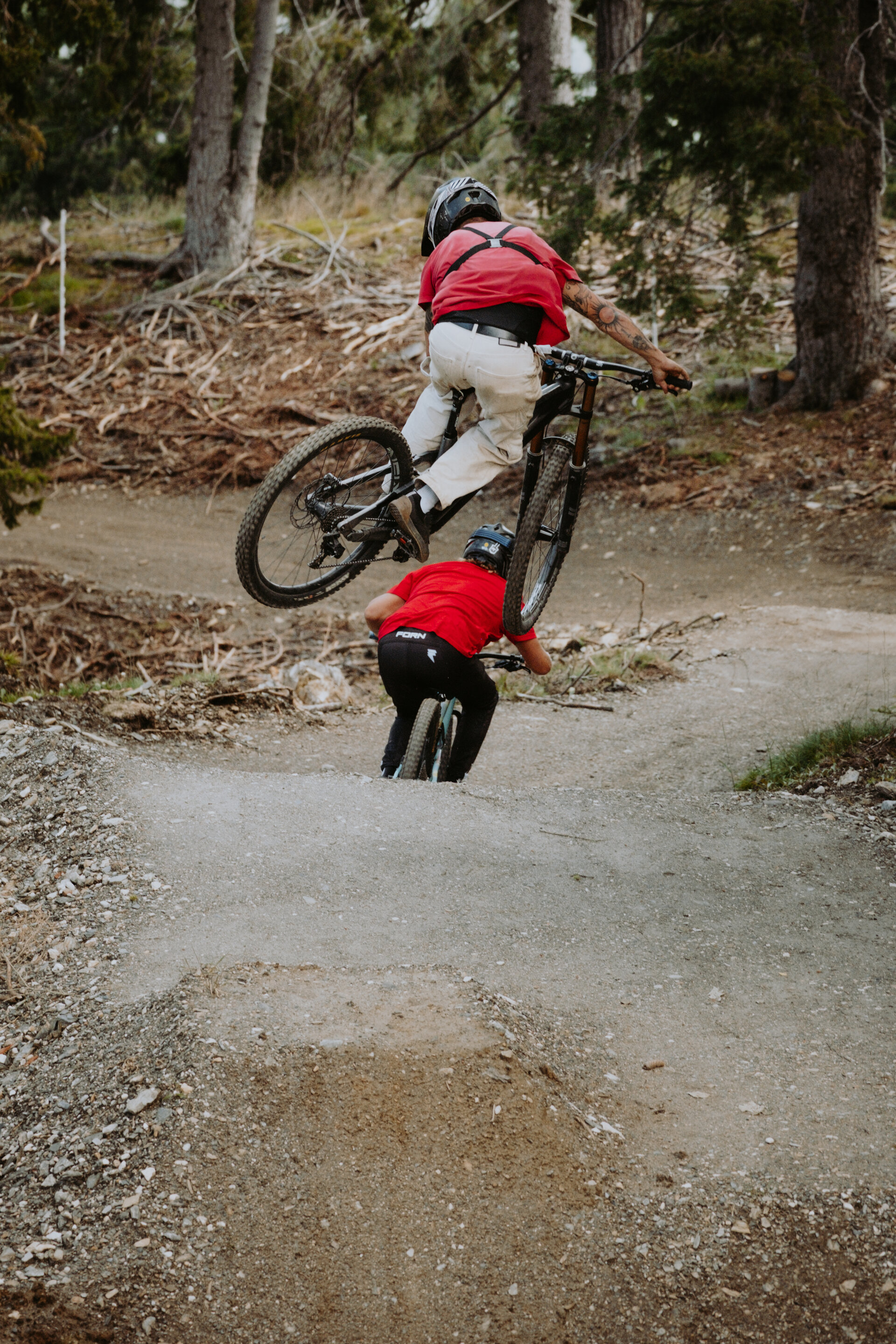
The Spitzhorn Trail is divided into three sections: the first part, which breaks off from the Gassl Trail, is a sequence of very smooth flowing curves, the middle section features jumps and features in an open area with great visibility to the scenic Wallride. The last section runs through the forest, alternating between natural terrain and various wooden footbridges that eventually lead back to the existing trail.

Route data
Intermediate
Distance
1,4 km
Duration
09 min
Decent
178 m
Highest point
2.033 m
Lowest point
1.855 m
You might be interested in
Discover related tours
Historical building with garden | © Hermann Maria Gasser
Intermediate
Add to favourites
Cultural discovery tour to the folklore museum in Dietenheim
Distance 8,5 km
Duration 29 min
Ascent 42 m
Decent 191 m
Zwei Mountainbiker auf einem Trail im Kronplatz Bike Park. | © Harald Wisthaler
Intermediate
Add to favourites
Herrnsteig Trail
Distance 7,6 km
Duration 25 min
Ascent 13 m
Decent 1.247 m
Status
closed
Intermediate
Add to favourites
Olang/Valdaora
Bad Bergfall Tour
Distance 11,9 km
Duration 1 h 14 min
Ascent 428 m
Decent 428 m
Intermediate
Add to favourites
Olang/Valdaora
Furkelpass / Passo Furcia
Distance 11,0 km
Duration 1 h 36 min
Ascent 750 m
Decent 26 m
Olang/Valdaora
To the Brunst Alm Hut
Distance 10,4 km
Duration 2 h 41 min
Ascent 1.048 m
Decent 160 m
Status
closed
Furkelpass | © Olang
Intermediate
Add to favourites
Olang/Valdaora
Passo Furcia/Furkelpass
Distance 11,8 km
Duration 2 h 02 min
Ascent 758 m
Decent 9 m
Status
closed