Top

Themed & didactic hiking path stone mile

Olang/Valdaora
Add to favourites
Difficulty
Easy
Duration
0:30
in hours
Distance
1.6
in km
Status
open
Categories
  • Hiking trail
Tags
  • Linear route
  • Geological highlights
  • Cultural/historical interest
Suggested period
Jan
Feb
Mar
Apr
May
Jun
Jul
Aug
Sep
Oct
Nov
Dec

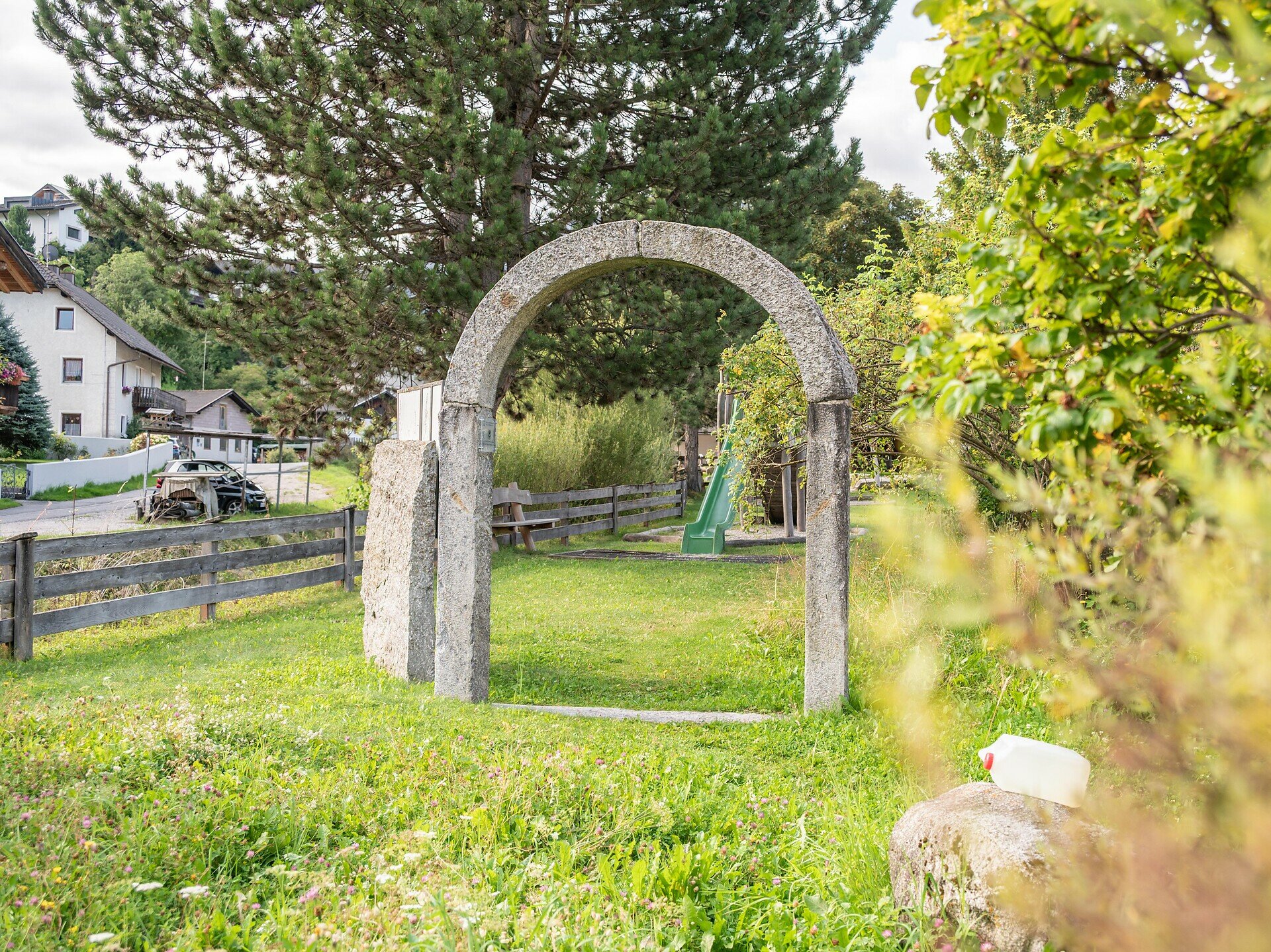
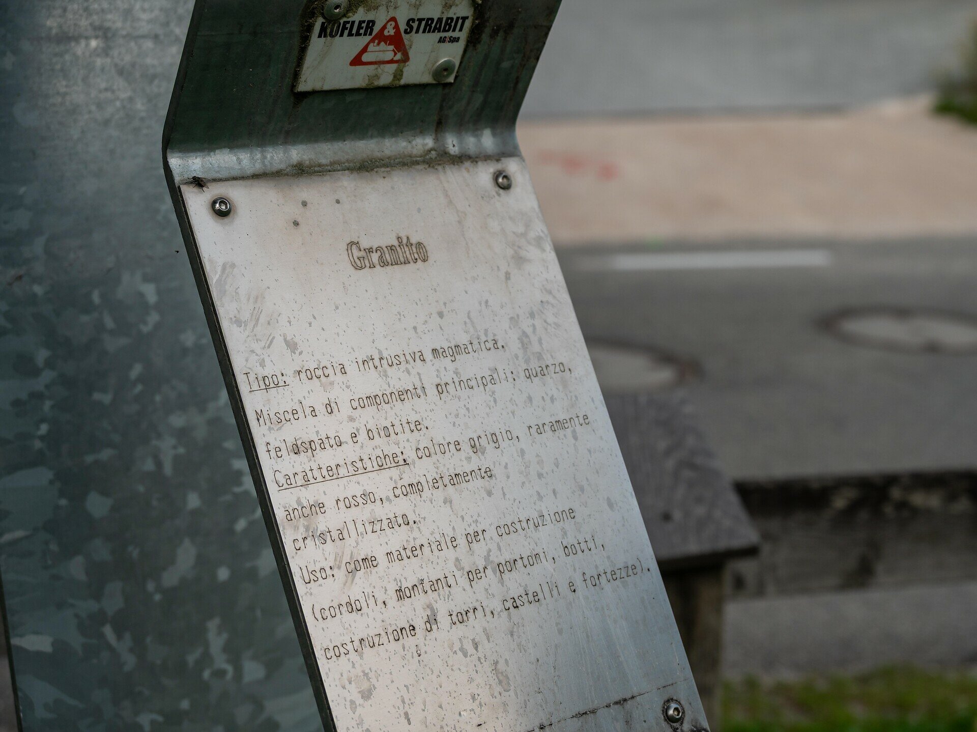
The Stone Mile in Olang is a varied walking and themed trail for anyone who would like to discover the world of South Tyrol’s rocks in an easy and accessible way. The route is mostly flat or has only gentle inclines and features informative stations along the way. There are plenty of spots along the trail that invite you to stop and take a break. Most of the route is wide and easy to navigate, making it ideal for strollers as well as for wheelchair users.

You can find the more accessible version here: https://www.olang.com/en/activity/-steinmeile-themed-trail-low-barrier-trail-_234460
Gallery
Categories
  • Hiking trail
Tags
  • Linear route
  • Geological highlights
  • Cultural/historical interest
Route data
Easy
Distance
1,6 km
Duration
30 min
Ascent
80 m
Decent
0 m
Physical condition
Scenary
Highest point
1.063 m
Lowest point
983 m
You might be interested in
Discover related tours
Olang/Valdaora
Forest bathing at Geiselsberg
Distance 3,7 km
Duration 1 h 05 min
Ascent 97 m
Decent 97 m
Status
open
Walk | © Olang
Intermediate
Add to favourites
Olang/Valdaora
Geiselsberg - Gassl - Mitterolang
Distance 3,6 km
Duration 1 h 00 min
Ascent 0 m
Decent 317 m
Status
open
Olang/Valdaora
Across the panorama way to Bruneck
Distance 8,6 km
Duration 2 h 20 min
Ascent 45 m
Decent 231 m
Status
open
Olang/Valdaora
Three villages Trail
Distance 5,9 km
Duration 1 h 30 min
Ascent 86 m
Decent 86 m
Status
open
Bild | © IDM Südtirol - Philipp Pliger, Olang
Intermediate
Add to favourites
Olang/Valdaora
Via trail 6A to the Angerer hut
Distance 1,5 km
Duration 58 min
Ascent 296 m
Decent 6 m
Status
open
Mühlbacher Badl
Distance 1,0 km
Duration 20 min
Ascent 104 m
Decent 0 m