From Olang to the Staller Sattel

Add to favourites
Category
Difficulty
Difficult
Duration
2:06
in hours
Distance
25.6
in km
NEW: MOVE calculates your personal route time for this tour.
Find out more about the project

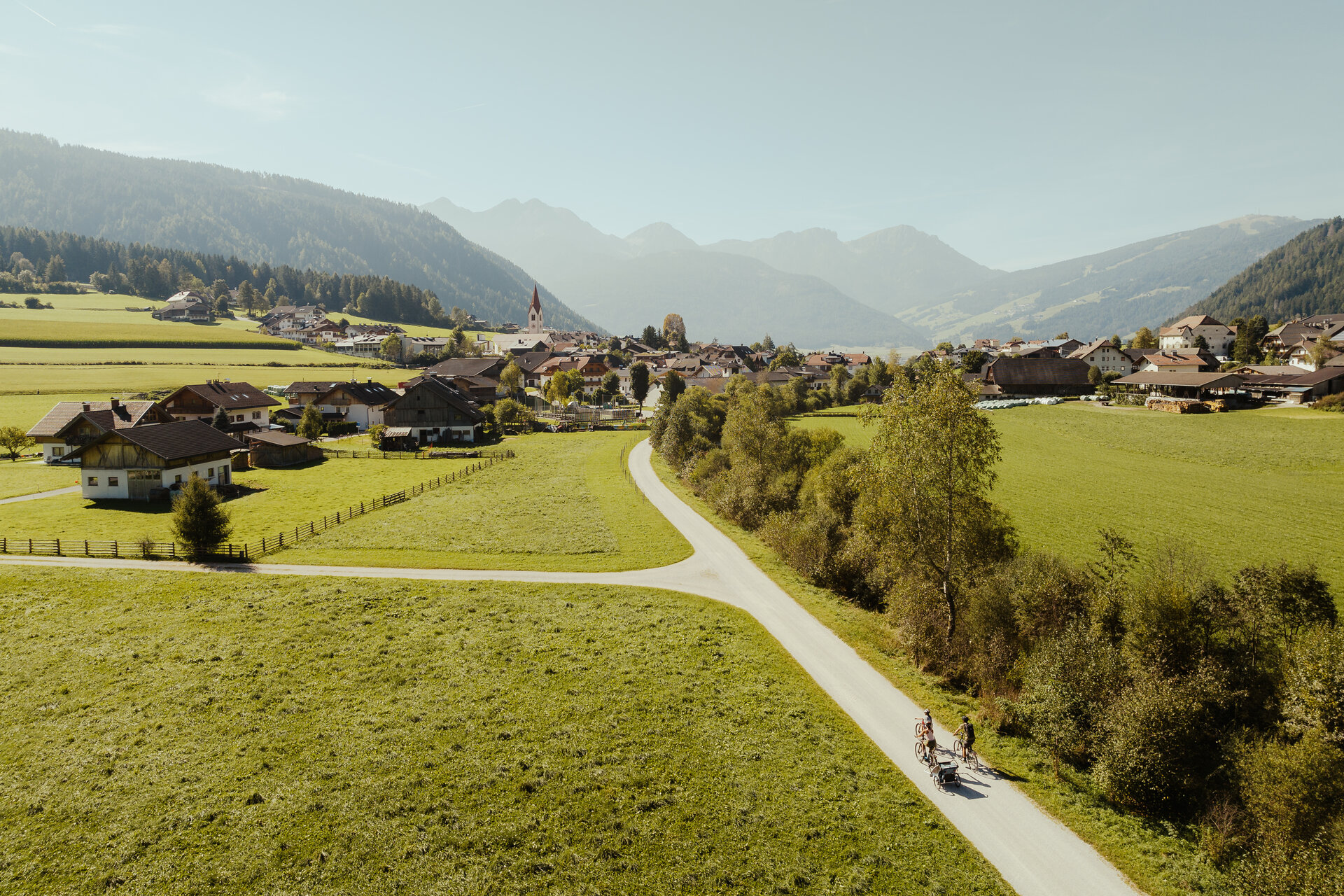
The tour starts in the centre of Mitterolang and leads you through the entire Antholz Valley – past idyllic villages, meadows, and forests. At the end of the valley, you’ll reach Lake Antholz, a perfect spot for a short break by the water. From there, the route climbs in several switchbacks up to the Staller Sattel, situated at 2,052 metres right on the border with East Tyrol. At the top, you’ll be rewarded with a breathtaking view of two valleys and a spectacular high-alpine landscape – a true highlight for endurance bikers.

Route data
Difficult
Distance
25,6 km
Duration
2 h 06 min
Ascent
1.076 m
Decent
80 m
Highest point
2.041 m
Lowest point
1.000 m
You might be interested in
Discover related tours
Andreas Trail
Distance 0,8 km
Duration 02 min
Ascent 0 m
Decent 166 m
Status
closed
Olang/Valdaora
E-MTB 3 alpine huts tour in the Antholzer Valley
Distance 47,9 km
Duration 3 h 56 min
Ascent 2.155 m
Decent 2.158 m
Intermediate
Add to favourites
Olang/Valdaora
Plätzwiese tour
Distance 60,9 km
Duration 4 h 06 min
Ascent 1.173 m
Decent 1.174 m
Intermediate
Add to favourites
Richard Anton Trail
Distance 1,0 km
Duration 03 min
Ascent 0 m
Decent 78 m
Status
closed
Korer Trail
Distance 1,3 km
Duration 04 min
Decent 203 m
Status
closed
From Olang to Taisten
Distance 10,4 km
Duration 46 min
Ascent 349 m
Decent 190 m